About Course
About this Course
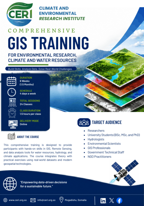
This intensive six-week online GIS training program equips participants with practical skills in Geographic Information Systems (GIS), Remote Sensing, Google Earth Engine, and spatial data analysis for environmental research and water resources management.
Participants will learn through practical exercises, real datasets, and project-based learning.
Who Should Enroll
- Researchers
- University Students (BSc, MSc & PhD)
- Hydrologists
- Environmental Scientists
- GIS Professionals
- Government Technical Staff
- NGO Practitioners
Learning Outcomes
By the end of this course learners will be able to:
- Acquire and manage spatial datasets
- Produce professional GIS maps
- Perform watershed analysis
- Analyze drought and rainfall
- Conduct flood analysis
- Perform water quality mapping
- Use Google Earth Engine
- Process satellite imagery
- Complete an environmental GIS project
Course Content
Module 1 – GIS Fundamentals & Spatial Data Management
-
Class 1: Course Orientation and GIS Roadmap
-
Lesson_2_ Introduction to GIS Fundamentals
40:53 -
Lesson_3_Spatial Data Concepts
43:17 -
Lession_4_Coordinate Systems and Projections
23:36 -
Lession_5_QGIS Software Environment and Data Management
47:23
Module 2- Study Area Mapping & Spatial Analysis
Module 3 – GIS Applications in Water Resources & Climate
Module 4 – Remote Sensing & Google Earth Engine
Assignments
Student Ratings & Reviews

No Review Yet